
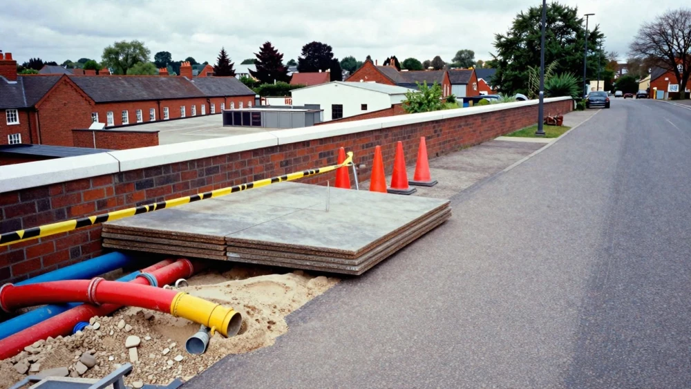
Underground Utility Surveys
Get in TouchAt Luton Surveys, we specialise in providing detailed underground utility surveys . Our services are essential for accurately locating and mapping buried utilities, helping to prevent potential hazards and ensuring the success of construction projects.
We use advanced technologies like Ground Penetrating Radar (GPR) and Electromagnetic (EM) detection methods to identify a wide range of utilities, including water pipes, gas lines, and electrical cables. Contact us to ensure your project is safe and compliant.
How Much Does an Underground Utility Survey Cost?
Underground utility surveys typically cost between £500 and £1,500, depending on factors like site size and complexity. Our pricing considers elements such as the detection methods employed, which may include ground-penetrating radar (GPR) and electromagnetic location (EML).
Larger sites with numerous buried utilities often require more extensive resources, affecting the total cost. The survey depth also plays a role, as deeper utilities necessitate advanced equipment and extended time.
We frequently service areas such as commercial lots, industrial facilities, and residential developments. At Luton Surveys, we provide a detailed cost breakdown to ensure transparency and align with industry standards such as PAS 128 for quality assurance.
Contact us for an accurate and tailored quotation.
Book Underground Utility Surveys Today
How Does an Underground Utility Survey Work?
An underground utility survey involves a methodical process that ensures precise and reliable mapping of subsurface utilities.
Site Assessment: We begin by reviewing site plans and conducting an on-site evaluation to understand specific needs. This initial phase often includes consulting with local councils for any existing utility records.
Detection Methods: Our team uses Ground Penetrating Radar (GPR) and Electromagnetic (EM) detection to accurately map out utilities without excavation. GPR helps in identifying non-metallic utilities, while EM is effective for metallic services.
Data Analysis: Collected data is analysed using specific software to provide a clear visualisation of utility positions and depths. We ensure each utility's depth is calculated to within centimetres for accuracy, helping to minimise potential disruptions during construction.
Report Generation: We produce a report with detailed maps and recommendations, adhering to British Standard PAS 128 for underground utility detection and verification. This report provides crucial information for project planning and risk management.
For more details, reach out to us for expert guidance.
What Are the Benefits of Underground Utility Surveys?
Underground utility surveys offer numerous advantages for construction and development projects by using advanced equipment and techniques to detect and map utilities efficiently:
Safety: Minimises risk of utility strikes, protecting workers and infrastructure. Our surveys employ Ground Penetrating Radar (GPR) and Electromagnetic Location (EML) methods to accurately detect underground services.
Cost Efficiency: Prevents costly damage and project delays by ensuring accurate utility mapping. This saves money by reducing incidents of unexpected utility exposure and subsequent repair costs.
Compliance: Meets legal requirements and industry standards for safe construction practices. Our surveys adhere to PAS 128 and the New Roads and Street Works Act for comprehensive utility detection and mapping.
Accuracy: Provides precise data on the location and depth of both metallic and non-metallic utilities. Our team uses advanced software for data analysis, enhancing the reliability of the survey results.
Ensure your project benefits from these advantages by booking a survey with us today.
What Regulations Apply to Underground Utility Surveys?
In the UK, conducting underground utility surveys requires adherence to various health and safety regulations, including PAS 128, which outlines the best practices for the detection, verification, and location of underground utilities.
We also comply with the Health and Safety at Work Act 1974, ensuring that every survey is conducted with the utmost regard for safety.
Our team uses Ground Penetrating Radar (GPR) and Electromagnetic Location (EML) techniques, conforming to BS EN 61557 standards, to accurately map underground utilities such as cables and pipelines. This compliance not only protects our surveyors but also aids in preventing costly damage to infrastructure during excavation.
For more information on these regulations and how we meet them, consult our team of experts.
Why Choose Luton Surveys for Underground Utility Surveys?
Choosing Luton Surveys means opting for reliability and accuracy. Our team of experienced professionals uses specialist equipment like electromagnetic locators and ground-penetrating radar to detect utilities beneath the surface.
We adhere to PAS 128 standards, ensuring that each survey meets industry specifications for quality and precision. Our reports include clear, detailed utility maps, which are essential for safe and effective project planning.
We cater to a diverse range of clients, from residential developers needing utility mapping for new builds, to construction companies modifying existing structures and requiring precise utility locations to avoid disruption. With our attention to detail, we address potential conflicts in design plans, enhancing safety and efficiency.
Contact us today to see how we can assist you with your next project.
Speak to an Underground Utility Surveys Expert
Frequently Asked Questions
How long does an underground utility survey take?
A typical survey takes one to two days, with larger sites requiring additional time. We strive for efficiency without compromising accuracy.
Are there any limitations to underground utility surveys?
Yes, elements like soil conditions and site access can influence survey outcomes. We provide a detailed site assessment to address these limitations.
Can surveys detect non-metal utilities?
Yes, our GPR technology can identify both metallic and non-metallic utilities, ensuring comprehensive mapping results.
How accurate are the survey results?
At Luton Surveys, we ensure our findings are accurate, with results typically within a few centimetres. We use precise methods and technologies.
Get a Free Quote for Underground Utility Surveys
Contact Luton Surveys today for an underground utility survey .